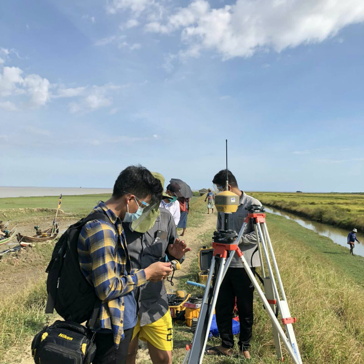
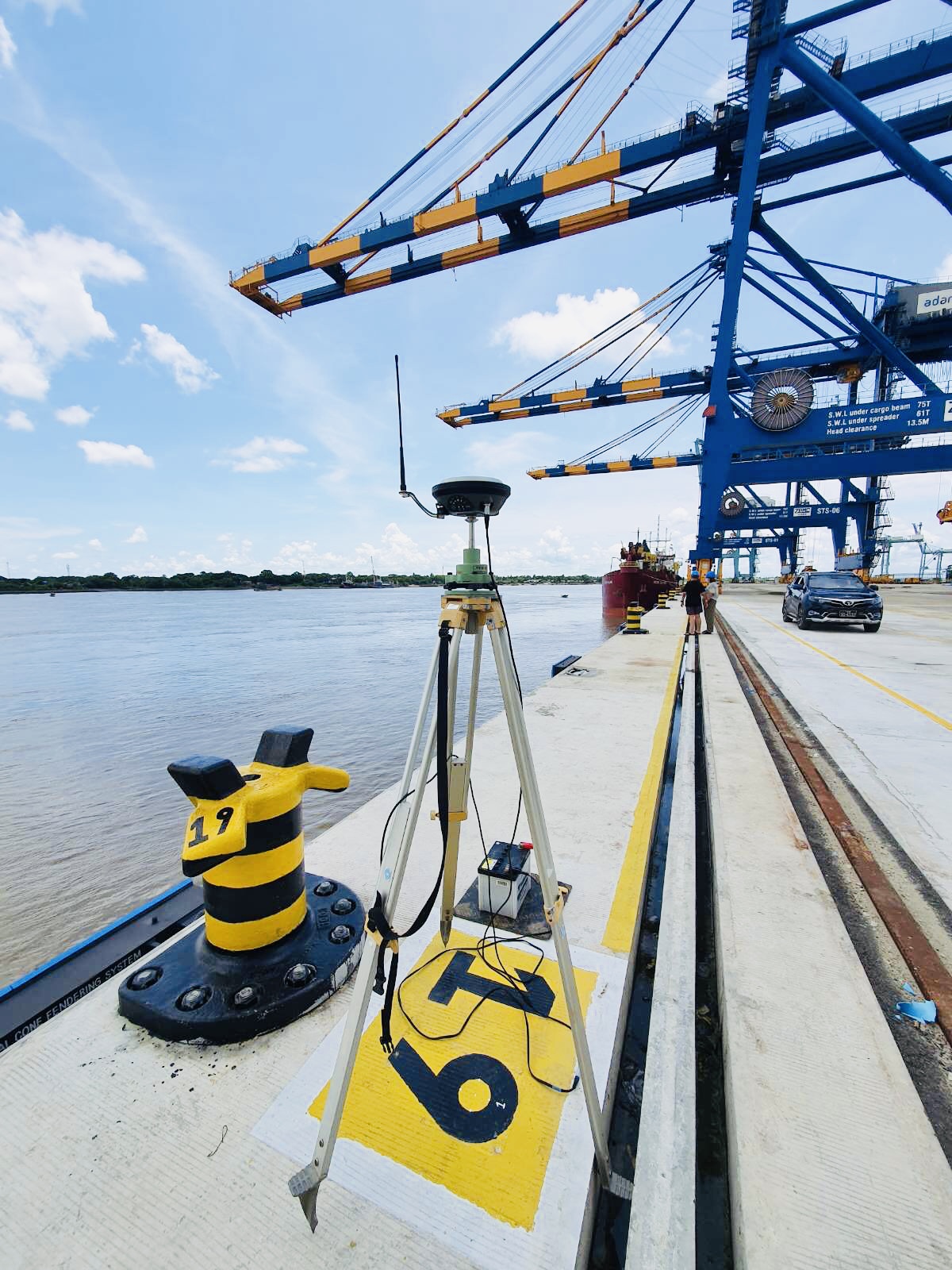
Through our integrated data acquisition, analysis and advice, we unlock insights from Geo-data to help you design, build and operate assets in a safe, sustainable and efficient manner.
We use state-of-the-art technology to produce detailed plans of seabeds, harbours and waterways. The role involves measuring and mapping underwater surfaces and studying the morphology (construction) of the ocean floor, showing the depth, shape and contours.


