Hydro Myanmar

Professional Survey Solution

We acquire and interpret environmental,

Contact us
Hydrographic and Bathymetric Survey

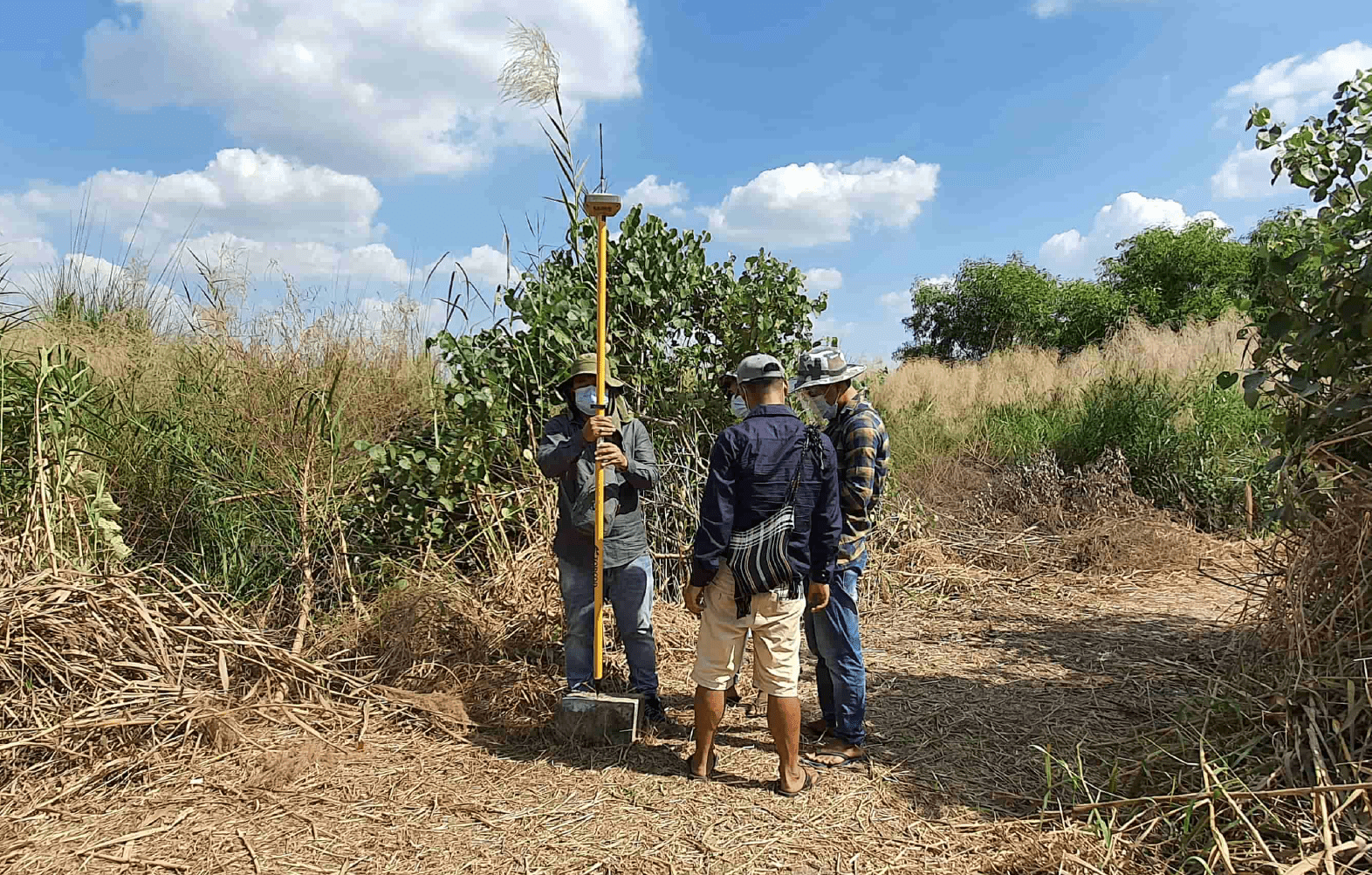
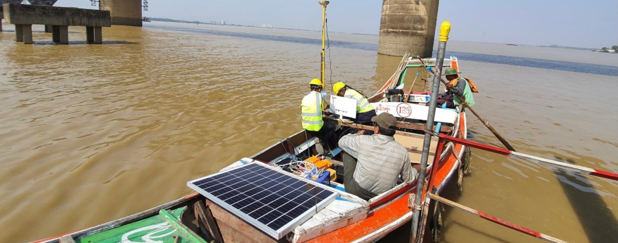
Thanks to our experience, we measure depths in both artificial and natural water bodies. Our approach depends both on the depth and other criteria, and on the methodologies used.

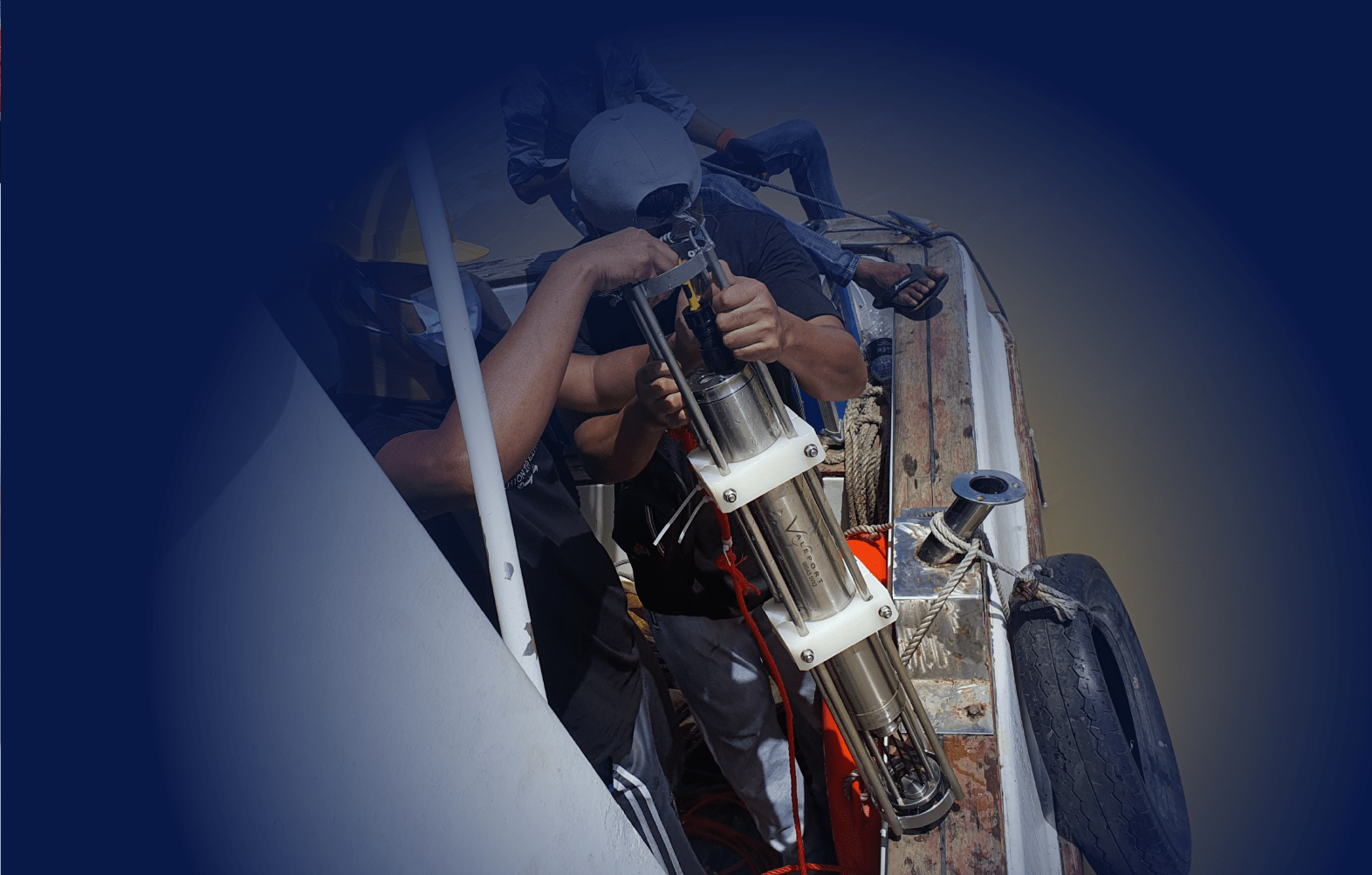
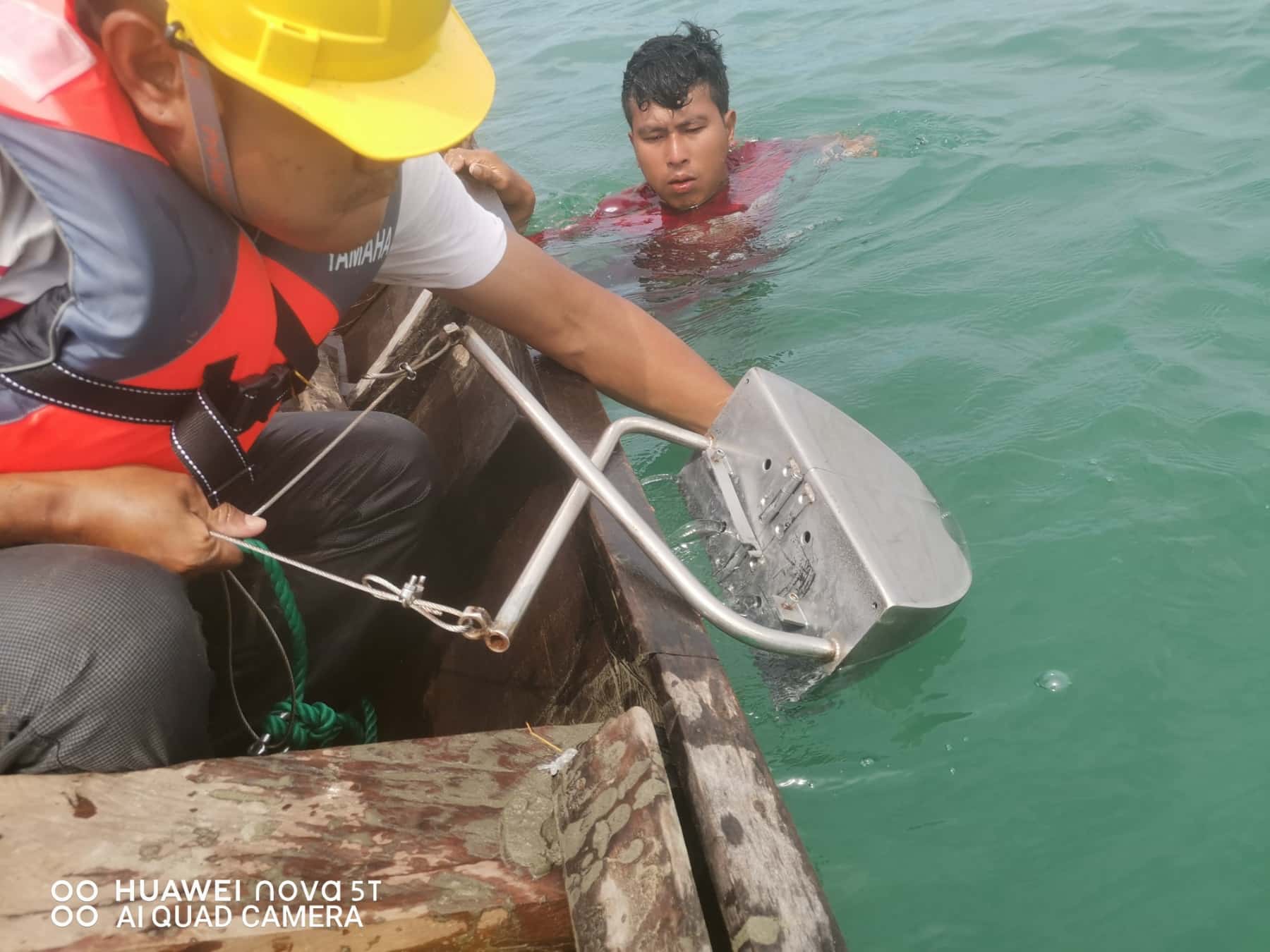
When we work in shallow water and in depth, we adhere to a very strict HSE policy. It should be noted that our employees have both international HSE certificates, and at the same time have been trained in model courses of the International Maritime Organization- ( IMO ) and International Hydrographic Organization- ( IHO ) obtaining acoustic images of seafloor relief. At the same time, SONAR surveying work is widely applied for the implementation of a submarine analysis of beaches.

Oceanographic Survey

Oceanography applies chemistry, geology, meteorology, biology, and other branches of science to the study of the ocean.

Geotechnical and Geophysical Survey

Geophysical and geotechnical assessments are used to collect and analyse data to better understand seabed and subsurface conditions.

Our surveys have been helped many engineers determine potential engineering constraints and identify safety hazards by collecting information on the nature and mechanical properties of the seabed.

Topographic

A topographic survey locates all surface features of a property, and depicts all natural features and elevations. In essence it is a 3-dimensional map of a 3-dimensional property showing all natural and man-made features and improvements.

Aerial/Photogrammetry

Photogrammetry is the science of making measurements from photographs. The input to photogrammetry is photographs, and the output is typically a map, a drawing, a measurement, or a 3D model of some real-world object or scene.

Have a any query?

hrough our integrated data acquisition, analysis and advice, we unlock insights from Geo-data to help you design, build and operate assets in a safe, sustainable and efficient manner.

  • What kind of project do you planning?

    Our service covers every surface down to the bottom of the earth whatever your information is needed. We use world-class certified types of equipment from industry-leading companies. Here are our owned product lists: VALEPORT, Teledyne Marine, Global Water, Topcon, Leica Geosystem etc. Reach for us for the project.

    question
  • Hire an experienced & professional team

    We are registered as a company act of the government of Myanmar. Our team is organized by dedicated team members of technocrats, engineers, and Hydropower professionals.

    question
  • How do we work?

    As a quality first company, we make sure every project is safe and reliable due to client needs and wants. We value every second and counting so you have no wasting time on the project.

    question